U.S. POSTAL CODE DIRECTORY
Every U.S. ZIP Code.
One simple search.
Find ZIP Codes by city, state, county, or number. Explore location details with a clean, easy-to-use directory.
✓ Browse by state✓ Search cities & counties✓ Explore ZIP+4 information
Directory coverage 42,735 ZIP Code records
Colorado Zip Codes
|
Colorado
|
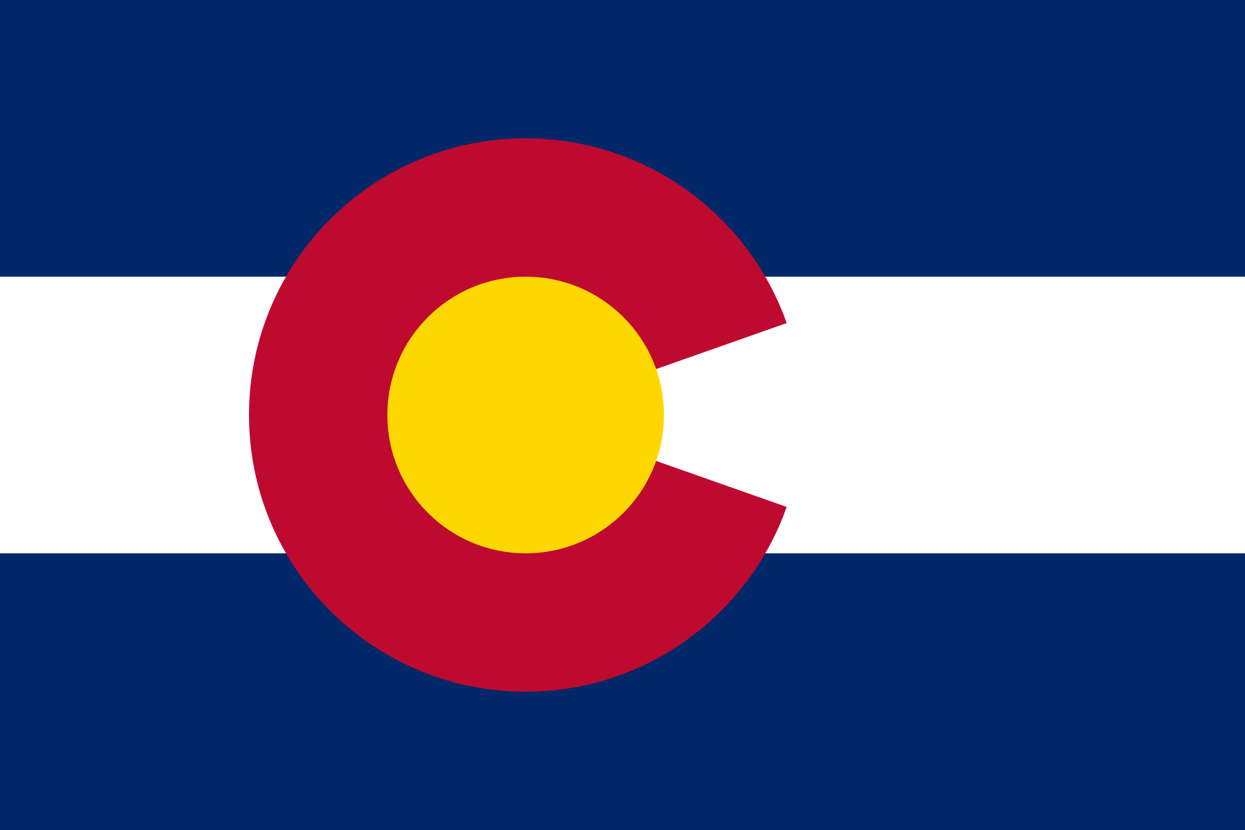
Colorado is a U.S. state that encompasses most of the Southern Rocky Mountains as well as the northeastern portion of the Colorado Plateau and the western edge of the Great Plains. Colorado is part of the Western United States, the Southwestern United States, and the Mountain States. Colorado is the 8th most extensive and the 22nd most populous of the 50 United States. The United States Census Bureau estimates that the population of Colorado was 5,116,796 on July 1, 2011, an increase of +1.74% since the 2010 United States Census.
Colorado is bordered by the northwest state of Wyoming to the north, the midwest states of Nebraska and Kansas to the northeast and east, on the south by New Mexico a small portion of the southern state of Oklahoma, on the west by Utah, and Arizona to the southwest. The four states of Colorado, New Mexico, Arizona, and Utah meet at one common point known as the Four Corners, which is known as the heart of the American Southwest. Colorado is one of only three U.S. states with no natural borders, the others being neighboring Wyoming and Utah. Colorado is noted for its vivid landscape of mountains, forests, high plains, mesas, canyons, plateaus, rivers, and desert lands. |
| State | Zip Code | City | County | Area Codes |
|---|---|---|---|---|
| CO | 81141 | Manassa | Conejos County | 719 |
| CO | 81143 | Moffat | Saguache County | 719 |
| CO | 81144 | Monte Vista | Rio Grande County | 719 |
| CO | 81146 | Mosca | Alamosa County | 719 |
| CO | 81147 | Pagosa Springs | Archuleta County | 575, 719, 970 |
| CO | 81148 | Romeo | Conejos County | 719 |
| CO | 81149 | Saguache | Saguache County | 719 |
| CO | 81151 | Sanford | Conejos County | 719 |
| CO | 81152 | San Luis | Costilla County | 575, 719 |
| CO | 81153 | San Pablo | Costilla County | 719 |
Page 53 from 67
|
